RAF Digby
Summary
| Operating Country | 🇬🇧 United Kingdom |
| Location | 🇬🇧 United Kingdom |
| Status | ◉ Active |
| Usage | Military only |
| Year built | 1918 |
| Year closed | 1953 |
| Operating Organization | Royal Air Force |
| Units |
|
Location & Details
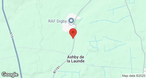
| Coordinates | 53.0908°N, -0.4342°E |
| Elevation | 61 m (200 ft) |
| Runways |
|
Description
RAF Digby is a Royal Air Force station located near Scopwick, Lincolnshire, England. It was built in 1918 and has been in continuous use since then, although flying operations ceased in January 1953. The station is a joint signals intelligence station, home to the tri-service Joint Service Signals Organisation, which is part of the Joint Forces Intelligence Group of Strategic Command. Other units based at RAF Digby include the RAF Aerial Erector School, No. 54 Signals Unit, No. 591 Signals Unit, and the Joint Service Signal Unit (Digby). British Army and Royal Navy elements, as well as US detachments, are also present.
Historically, RAF Digby began as a flying training airfield for Royal Naval pilots in 1917 and was formally established as RAF Scopwick in January 1918, primarily as a night bomber training unit. In 1920, it became No. 3 Flying Training School RAF, and its name changed to RAF Digby in 1920. It transitioned to training fighter pilots and later became an operational fighter station for No. 12 Group Fighter Command in 1937, providing fighter cover for cities like Lincoln, Nottingham, and Leicester. During World War II, it hosted numerous RAF, Canadian, Polish, Belgian, and Czech squadrons, flying various aircraft including Hurricanes, Spitfires, and Mosquitos. Control of the station passed to Canada from 1942 to 1945, becoming RCAF Station Digby. Post-war, Digby shifted to a non-flying role for RAF Technical Training Command, hosting various training schools. Since 1955, it has been primarily a signals intelligence station, with No. 399 Signals Unit and No. 591 Signals Unit establishing operations. The station also houses the Sector Operations Room Museum, which preserves its wartime history.