Des Moines Air National Guard Base
Summary
| Operating Country | 🇺🇸 United States |
| Location | 🇺🇸 United States |
| Status | ◉ Active |
| Usage | Dual |
| Year built | 1932 |
| Operating Organization | US Air National Guard |
| Units |
|
Description
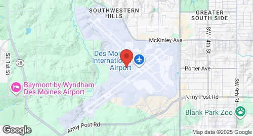
Des Moines International Airport (DSM) is a joint civilian-military commercial service airport located 5 miles southwest of Des Moines, Iowa. Construction of the airport began in 1932 and was completed in 1933, with the first passenger terminal built shortly thereafter. The airport has expanded from its original 160 acres to cover 2,625 acres. It was renamed Des Moines International Airport in 1986 following the establishment of a United States Customs Service office. In 2011, control of the airport transitioned from the City of Des Moines to the Des Moines Airport Authority, which operates it under a 99-year lease.
The airport features two concrete runways: 05/23, measuring 9,004 by 150 feet (2,744 x 46 m), and 13/31, measuring 9,001 by 150 feet (2,744 x 46 m). It has two concourses, A and C, serving multiple commercial airlines including American, Allegiant, Delta, Frontier, Southwest, and United. A major terminal replacement project is scheduled to begin in 2024.
Des Moines International Airport hosts the Iowa Air National Guard's 132nd Wing, which has been stationed there since the 1960s. The 132nd Wing transitioned from an F-16 fighter unit to an Intelligence, Surveillance, and Reconnaissance (ISR) and cyber warfare unit starting in 2013. Additionally, Company C, 2nd Battalion, 147th Aviation Regiment, of the Iowa Army National Guard, relocated Black Hawk helicopters to the base, contributing to a transition towards joint base status. The airport recorded 3,176,952 passengers in 2024. It also serves as a maintenance base for Endeavor Air.
