Fresno Air National Guard Base
Summary
| Operating Country | 🇺🇸 United States |
| Location | 🇺🇸 United States |
| Status | ◉ Active |
| Usage | Dual |
| Year built | 1942 |
| Operating Organization | US Air National Guard |
| Units |
|
Location & Details
| Coordinates | 36.7767°N, -119.7189°E |
| Elevation | 102 m (335 ft) |
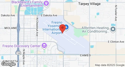
| IATA code | FAT |
| ICAO code | KFAT |
| Runways |
|
Description
Fresno Yosemite International Airport (FAT/KFAT) is a joint military-public airport located in Fresno, California, United States. It was originally established in June 1942 as Hammer Field, a military airfield, during World War II. It served as a training facility for the United States Army Air Forces' Fourth Air Force, including night fighter training with Northrop P-61s and Bell P-59 Airacomets.
After World War II, Hammer Field was inactivated by the Army Air Forces. In 1946, the property was reallocated to the city of Fresno for commercial use, opening as Fresno Air Terminal (FAT) in 1948. The California Air National Guard established the Fresno Air National Guard Base on the southeast corner of the property in the 1950s. The 144th Fighter Wing moved to the facility in 1957. A second parallel runway (11R/29L) was constructed and opened in 1956. The airport was renamed Fresno Yosemite International Airport in 1996.
The airport is owned and operated by the City of Fresno Airports Division. It covers 1,728 acres and features two asphalt runways: 11L/29R, measuring 2,907 meters, and 11R/29L, measuring 2,441 meters. Military and government operations at the airport include the 144th Fighter Wing of the California Air National Guard and the California Army National Guard's Aviation Classification Repair Activity Depot (AVCRAD). Additionally, the United States Forest Service, Sierra National Forest, and California Department of Forestry and Fire Protection (CAL FIRE) jointly operate the Fresno Air Attack Base for aerial firefighting. Other government entities with facilities include the California Highway Patrol, Fresno County Sheriff's Office, and Fresno Police Department.