Gila Bend Air Force Auxiliary Field
Summary
| Operating Country | 🇺🇸 United States |
| Location | 🇺🇸 United States |
| Status | ◉ Active |
| Usage | Military only |
| Year built | 1942 |
| Operating Organization | US Air Force |
| Units |
|
Location & Details
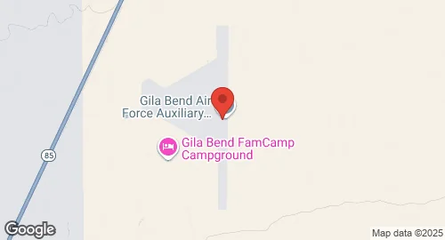
| Coordinates | 32.8875°N, -112.7200°E |
| Elevation | 269 m (883 ft) |
| ICAO code | KGXF |
| Runways |
|
Description
Gila Bend Air Force Auxiliary Field (ICAO: KGXF, FAA LID: GXF) is a United States Air Force auxiliary airfield located in Maricopa County, Arizona, approximately 3.5 miles south of Gila Bend. The facility is part of the Barry M. Goldwater Air Force Range and is operated by the US Air Force, under the control of the Air Education and Training Command (AETC). It serves as an emergency landing facility for aircraft from Luke Air Force Base, Davis-Monthan Air Force Base, and other units utilizing the Barry M. Goldwater Air Force Range complex.
The airfield was constructed and opened in July 1942 as part of the Gila Bend Gunnery Range during World War II. At that time, it was under the command of the 492d (Reduced) Army Air Force Base Unit, AAF West Coast Training Center. Its initial purpose was to serve as the range headquarters for a large bombing and gunnery range, now known as the Barry M. Goldwater Range, and to support the maintenance of the range and its targets. The facility remained an active Air Force installation, staffed by USAF personnel, until approximately 1995. As of 2011, its role as an auxiliary landing field is managed by private contractors.
Gila Bend Air Force Auxiliary Field features one runway, designated 17/35, which has an asphalt surface measuring 2,591.4 meters (8,502 feet) in length. The primary unit garrisoned at the facility is the 56th Range Management Office.