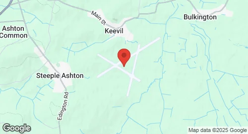
RAF Keevil is a former Royal Air Force station located between the villages of Keevil and Steeple Ashton in Wiltshire, England. Constructed in 1941/42, the airfield featured three concrete runways and was operational from July 1942 until 1965. It was used by both the Royal Air Force and the United States Army Air Forces Eighth and Ninth Air Forces during World War II. During the war, it served as an assembly point for Supermarine Spitfire aircraft, which were transported from Trowbridge factories and flown out by the Air Transport Auxiliary. The USAAF's 62nd Troop Carrier Group and 363d Fighter Group, and the 153d Observation Squadron were stationed at Keevil. From March 1944, RAF's 196 and 299 Squadrons, operating Short Stirling glider tugs of No. 38 Group RAF, used the airfield for Special Operations Executive (SOE) and Special Air Service (SAS) drops, as well as glider towing for the Normandy invasion and Operation Market-Garden. After the war, it transitioned to a training role, hosting No. 22 Heavy Glider Conversion Unit and later 61 Operation Training Unit, which converted pilots to Spitfires and North American Mustangs. Although officially closed in 1965, Keevil was kept in reserve status and has been retained for military use as an unmanned airfield for training purposes. Management of the airfield was transferred from the RAF to the Army Air Corps, specifically the Joint Aviation Command, around 2023. It is predominantly used by aircraft from RAF Brize Norton and Joint Aviation Command, and since June 2023, by the Royal Artillery for Thales Watchkeeper WK450 drone exercises on the nearby Salisbury Plain Training Area. The airfield is virtually complete with its runways, perimeter track, and many hardstands still in place. It also serves civilian purposes, being home to Bannerdown Gliding Club and occasionally used for motorsport events and by the Wessex Model Flying Club.