Key Field Air National Guard Base
Summary
| Operating Country | 🇺🇸 United States |
| Location | 🇺🇸 United States |
| Status | ◉ Active |
| Usage | Dual |
| Year built | 1930 |
| Operating Organization | US Air National Guard |
| Units |
|
Location & Details
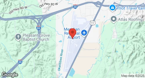
| Coordinates | 32.3325°N, -88.7519°E |
| Elevation | 91 m (299 ft) |
| IATA code | MEI |
| ICAO code | KMEI |
| Runways |
|
Description
Meridian Regional Airport, also known as Key Field, is a joint civil-military public use airport located 3 nautical miles southwest of Meridian, Mississippi. Established in 1928 and opened in November 1930, the airport was initially co-managed by Al and Fred Key, after whom Key Field is named. Their endurance flight in 1935 brought attention to the facility. During World War II, it operated as Key Field Air National Guard Base under the United States Army Air Corps. The old terminal building, hangar, and powerhouse, built in 1930, are listed on the National Register of Historic Places.
The airport covers 1,000 acres and has an elevation of 91 meters. It features two runways: 1/19, measuring 3,049 meters with an asphalt and concrete surface, and 4/22, measuring 1,402 meters with an asphalt surface. Runway 1/19 is the longest public use runway in Mississippi. The airport primarily handles general aviation and military traffic, with some scheduled commercial service subsidized by the Essential Air Service program. As of March 2021, 71% of aircraft operations were military.
Key Field is home to the Mississippi Air National Guard's 186th Air Refueling Wing (186 ARW), which operates KC-135R Stratotanker aircraft. It also hosts the Mississippi Army National Guard's 111th Army Aviation Support Facility, Company B, operating CH-47 Chinook helicopters. The 186 ARW also hosts an operational training detachment for USAF MC-12W aircraft. Aircraft Rescue and Firefighting (ARFF) capabilities are provided by the Air National Guard. Commercial service is currently provided by United Express with flights to Houston–Intercontinental and Hattiesburg/Laurel.