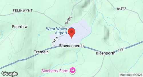
Aberporth Airport, also known as West Wales Airport, is located southwest of Aberporth, Ceredigion, Wales. The site was originally RAF Aberporth, a Royal Air Force satellite station established in 1940. It was used by the RAF Army Cooperation Command and later by the Royal Aircraft Establishment (RAE), Defence Research Agency (DRA), and Defence Evaluation and Research Agency (DERA) under the Ministry of Defence until 2001. A new asphalt runway was built in 1956, and hangar apron extensions occurred in 1968 and 1971. During the 1960s, it served as the HQ of the RAE Ranges Division. The military presence as RAF Aberporth concluded in 1984, although the site continued under various defense agencies. The nearby MOD Aberporth range, which started as a British Army firing range in 1940, is used for testing rockets by the British military and for launching civilian rockets for atmospheric research. This range is currently managed by QinetiQ with air traffic services provided by NATS. The airport underwent major improvements in 2008, extending the runway length. Currently, the airport is developed as West Wales Airport for domestic flights and serves as a center for the deployment of civil and military unmanned aerial vehicles (UAVs), connected to the Welsh Government's ParcAberporth. It is used as a base for Thales Watchkeeper WK450 military UAV trials over Cardigan Bay. The aerodrome holds a CAA Ordinary Licence for public transport of passengers or flying instruction, but is not licensed for night use.
