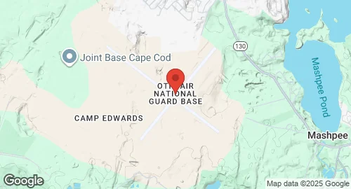
Otis Air National Guard Base, located within Joint Base Cape Cod near Mashpee, Massachusetts, was constructed in 1938. Initially known as Otis Field, it was renamed Otis Air Force Base and later transferred to the Air National Guard. The base is named in honor of Lt. Frank "Jesse" Otis, a pilot and surgeon. It served as Naval Auxiliary Air Facility Otis during World War II and was a key Aerospace Defense Command installation during the Cold War, hosting units like the 33rd Fighter Wing and the 551st Airborne Early Warning and Control Wing. The 102d Fighter Wing, flying various aircraft including F-15s, became the main unit after active duty forces departed. Although targeted for closure by the 2005 BRAC, it remained operational, with the 102nd Fighter Wing transitioning to the 102nd Intelligence Wing, a non-flying unit. The airfield element was transferred to the US Coast Guard in 2006 and is now known as Cape Cod Coast Guard Air Station. Current major units include the 102nd Intelligence Wing, Coast Guard Air Station Cape Cod, and Coast Guard Base Cape Cod. Other units include the 101st Air Operations Squadron, the 253d Cyberspace Engineering Installation Group, and elements of the Army National Guard and Civil Air Patrol. The base was a NASA Space Shuttle launch abort site and hosts the Precision Acquisition Vehicle Entry Phased Array Warning System (PAVE PAWS), an Active Space Force site. It features two runways: 14/32, measuring 2,895.9 meters (9,501 ft) with an Asphalt/Concrete surface, and 05/23, measuring 2,438.4 meters (8,000 ft) with an Asphalt/Concrete surface. Environmental remediation efforts are ongoing due to historical waste disposal practices.