RAF Wyton
Summary
| Operating Country | 🇬🇧 United Kingdom |
| Location | 🇬🇧 United Kingdom |
| Status | ◉ Active |
| Usage | Military only |
| Year built | 1915 |
| Operating Organization | Royal Air Force |
| Units |
|
Location & Details
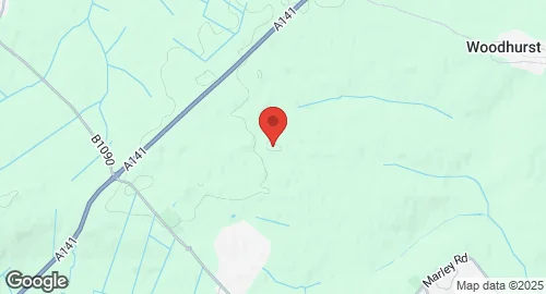
| Coordinates | 52.3572°N, -0.1078°E |
| Elevation | 40 m (131 ft) |
| IATA code | QUY |
| ICAO code | EGUY |
| Runways |
|
Description
RAF Wyton is a Royal Air Force station located near St Ives, Cambridgeshire, England. Established in 1915 and in use since 1916, it has served various military roles throughout its history. While its airfield was decommissioned for flying operations in May 1995 due to high maintenance costs, the station itself remains operational under the command of UK Strategic Command, functioning as a UK military intelligence analysis facility. It is home to the National Centre for Geospatial Intelligence (NCGI), which provides Open Source Intelligence (OSINT) and Geospatial Intelligence (GEOINT) support to HM Armed Forces. The Pathfinder Building within the station is described as the 'operations centre of Defence Intelligence' and a major military intelligence fusion and assessment facility. Other occupants include the Ministry of Defence Police Headquarters, the Defence Infrastructure Organisation Regional Headquarters, 42 Engineer Regiment (Geographic), and No. 1 Intelligence Surveillance Reconnaissance Squadron.
Historically, RAF Wyton was a military airfield from 1916, initially used for training by the Royal Flying Corps and Royal Air Force. During the Second World War, it served primarily as a bomber base, operating Bristol Blenheim, de Havilland Mosquito, and Avro Lancaster aircraft, and became the home of the Pathfinder Force in 1942. In the Cold War era, it hosted English Electric Canberras of the Strategic Reconnaissance Force, Vickers Valiants, and Handley Page Victors. Nimrod R1s of No. 51 Squadron and Canberras of No. 360 Squadron were also stationed there for Elint, Sigint, and Electronic Countermeasures training. In 1989, it temporarily hosted U.S. Air Force A-10 Thunderbolt II jets. Following the decommissioning of the airfield, the station transitioned to an intelligence focus, with the Joint Forces Intelligence Group relocating there in 2013, which later disbanded to establish the National Centre for Geospatial Intelligence in 2016. The NCGI monitors military and terrorist activities globally, including those involving HMS Diamond in the Red Sea, Russian drones in Ukraine, and Chinese hypersonic missile development, and has been involved in homeland security investigations.