Armilla Air Base
Summary
| Operating Country | 🇪🇸 Spain |
| Location | 🇪🇸 Spain |
| Status | ◉ Active |
| Usage | Military only |
| Year built | 1922 |
| Operating Organization | Ejército del Aire y del Espacio |
| Units |
|
Location & Details
| Coordinates | 37.1332°N, -3.6357°E |
| Elevation | 700 m (2,297 ft) |
| ICAO code | LEGA |
| Runways |
|
Description
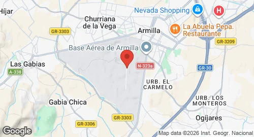
Armilla Air Base (LEGA) is situated 6 kilometers from Granada, Spain, within the municipalities of Armilla, Alhendín, Ogíjares, Las Gabias, and Churriana de la Vega. The site hosted balloon flights in 1895 and the first airplane flight in Granada in 1911. A permanent military aerodrome was established in June 1922 to support aviation during the Moroccan War. Initial infrastructure consisted of workshops, warehouses, officer and soldier pavilions, a telegraphy station, and two canvas hangars with a capacity for 17 aircraft each. The facility was designated Aeródromo Dávila in 1925.
The aerodrome supported civil traffic on the Granada-Seville line in 1929 and reopened to national and international civil aviation in 1946. Expansion in the 1950s included the addition of a control tower in 1952 and a civil aviation building in 1954. A pilot school was established at the base in 1955. Civil flight operations were transferred to the new Granada Airport in 1972. Between 1973 and 1980, the base provided training for cadets of the General Air Academy.
The Spanish Air and Space Force operates the base as its primary helicopter pilot school. It is the station for Ala 78 and the Patrulla ASPA helicopter display team, which was formed in 2004. The base also conducts search and rescue (SAR) operations and hosts the Helicopter Maintenance Mechanic Course for the Air Force and Civil Guard. Aircraft operated at the facility include the Eurocopter EC 120. The base grounds have also been used for non-military events, including stages of the Paris-Dakar Rally.