Atlangatepec Air Force Station (Tlaxcala National Airport)
Summary
| Operating Country | 🇲🇽 Mexico |
| Location | 🇲🇽 Mexico |
| Status | ◉ Active |
| Usage | Military only |
| Year built | 1982 |
| Operating Organization | Mexican Air Force |
| Units |
|
Location & Details
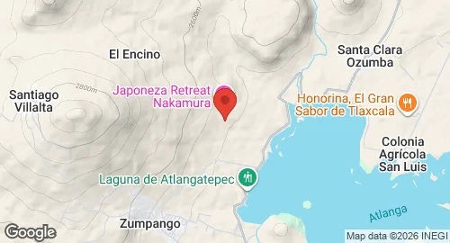
| Coordinates | 19.5744°N, -98.2058°E |
| Elevation | 2,450 m (8,038 ft) |
| ICAO code | MMTA |
| Runways |
|
Description
Atlangatepec Air Force Station (Estación Aérea Militar No. 9) is located in Atlangatepec, Tlaxcala, 14 kilometers north of Apizaco. Established in 1982 as Tlaxcala National Airport, the facility originally functioned as a civilian airfield. On March 3, 1997, the Tlaxcala State Government transferred control of the site to the Secretariat of National Defense (SEDENA), leading to its designation as Tlaxcala Air Force Base (Base Aérea Militar No. 19). In 2004, the base was redesignated as Estación Aérea Militar No. 9. Historical records indicate that during its period as a national airport, the facility reached its peak activity in 1994 with 24 air operations.
The station is operated by the Mexican Air Force and hosts the 601st Air Squad. The primary mission of the unit involves the operation of remotely piloted aerial vehicles. Infrastructure at the installation includes an asphalt-surfaced runway and an apron equipped with parking positions for narrow-body aircraft and helipads. Support facilities consist of a hangar, a control tower, and personnel housing.
The 601st Air Squad operates several types of unmanned aerial systems, including the Hydra S-45 Báalam, Hydra G-1 Guerrero, Hydra S-4 Ehécatl, and Hydra E-1 Gavilán. The unit also utilizes the ADS Dominator XP, Elbit Skylark, and Elbit Hermes 450.