Benito Salas Airport (La Manguita)
Summary
| Operating Country | 🇨🇴 Colombia |
| Location | 🇨🇴 Colombia |
| Status | ◉ Active |
| Usage | Dual |
Location & Details
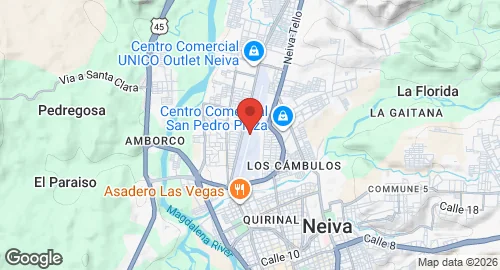
| Coordinates | 2.9500°N, -75.2942°E |
| Elevation | 452 m (1,483 ft) |
| IATA code | NVA |
| ICAO code | SKNV |
Description
Benito Salas Airport is located in Neiva, the capital of the Huila Department in Colombia. The facility is named after Benito Salas Vargas, a military leader during the Colombian war of independence between 1810 and 1819. Historically known as La Manguita airport, the installation is situated on the site of a former ranch of the same name. Infrastructure at the site includes a control tower and a building with garages.