Casement Aerodrome (Baldonnel Aerodrome)
Summary
| Operating Country | 🇮🇪 Ireland |
| Location | 🇮🇪 Ireland |
| Status | ◉ Active |
| Usage | Military only |
| Year built | 1917 |
| Operating Organization | Irish Air Corps |
| Units |
|
Location & Details
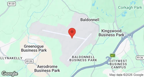
| Coordinates | 53.3017°N, -6.4511°E |
| Elevation | 97 m (318 ft) |
| ICAO code | EIME |
| Runways |
|
Description
Casement Aerodrome, also known as Baldonnel Aerodrome, is located in Baldonnel, County Dublin, southwest of Dublin city near the N7 road. The airfield was established in 1917 for use by the Royal Flying Corps and subsequently the Royal Air Force under its Ireland Command. Civilian operations began at the site in 1919 with a service to London. Historically, the aerodrome served as the departure point for the first successful east-west transatlantic flight by a Junkers W33 in April 1928. It was the location of the inaugural Aer Lingus flight in 1936 and the landing site for Douglas Corrigan’s 1938 transatlantic flight. In February 1965, the installation was renamed Casement Aerodrome.
The facility is owned by the Department of Defence and operated by the Irish Air Corps. It serves as the headquarters and the sole airfield of the Irish Air Corps. Its primary role includes military aviation operations and supporting government requirements. The aerodrome also houses the Garda Air Support Unit. Infrastructure at the site supports the landing of various international military and state aircraft, including United States military flights and the 2011 state visit of Queen Elizabeth II.