Central Field
Summary
| Operating Country | 🇯🇵 Japan |
| Location | 🇯🇵 Japan |
| Status | ◉ Active |
| Usage | Military only |
| Year built | 1944 |
| Operating Organization | Japan Maritime Self-Defense Force |
| Units |
|
Location & Details
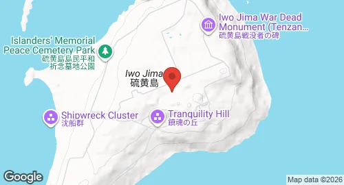
| Coordinates | 24.7842°N, 141.3225°E |
| Elevation | 118 m (387 ft) |
| IATA code | IWO |
| ICAO code | RJAW |
| Runways |
|
Description
Central Field, also known as Iwo Jima Air Base or Motoyama No. 2, is located on the island of Iwo Jima in the Bonin Islands, Japan. Japanese forces constructed the facility prior to 1944. During the Battle of Iwo Jima in 1945, the United States seized the airfield to establish an emergency landing site for B-29 Superfortress bombers. U.S. Navy Seabees and Army engineers reconstructed and expanded the site, which became operational under U.S. control on March 16, 1945. During World War II, the base served as the headquarters for the VII Fighter Command of the Twentieth Air Force. Stationed units included the 21st, 414th, and 506th Fighter Groups, the 548th and 549th Night Fighter Squadrons, and the 41st Photographic Reconnaissance Squadron.
Following the war, the base was managed by the Military Air Transport Service as a refueling and maintenance hub. The United States returned the facility to the Japanese government on June 27, 1968. The base is currently owned by the Ministry of Defense and operated by the Japan Maritime Self-Defense Force. It serves as a navigation and weather station and is utilized by the U.S. military as an aircraft refueling depot and special pilot training facility. Approximately 350 Japan Self-Defense Forces personnel are stationed at the installation.
Central Field is the only operational airfield on the island. The infrastructure includes a fueling strip with 60 outlets. Historically, the base hosted multiple squadrons of P-51 Mustangs, B-24 Liberators, and B-29 Superfortresses. Current operations are restricted to military use, though the field frequently hosts flights for veterans.