Chihuahua International Airport (Base Aérea Militar No. 13 Chihuahua)
Summary
| Operating Country | 🇲🇽 Mexico |
| Location | 🇲🇽 Mexico |
| Status | ◉ Active |
| Usage | Dual |
| Operating Organization | Mexican Air Force |
| Units |
|
Location & Details
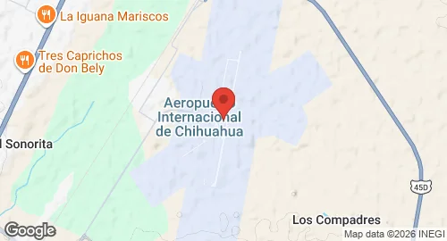
| Coordinates | 28.7029°N, -105.9644°E |
| Elevation | 1,330 m (4,364 ft) |
| IATA code | CUU |
| ICAO code | MMCU |
| Runways |
|
Description
General Roberto Fierro Villalobos International Airport is located 12 kilometers northeast of Chihuahua, Mexico. The facility is named for Roberto Fierro Villalobos, a pilot of the Mexican Air Force.
The airport is operated by Grupo Aeroportuario Centro Norte and serves as a site for commercial, cargo, and military aviation. It hosts Air Force Base No. 13 (Base Aérea Militar No. 13). Stationed units include Air Squadron 110, which operates Cessna 182 aircraft, and Air Squadron 205, which operates Beechcraft T-6 Texan II aircraft. The base supports logistics for the Mexican Army and facilitates flight training and general aviation.
Infrastructure dedicated to military operations includes a 14,500-square-meter aviation platform, three hangars, and housing for Air Force personnel. The airport features a cargo terminal with the capacity to receive narrow-body aircraft and two general aviation aprons that accommodate fixed-wing aircraft and heliports. The passenger terminal is equipped with seven gates and three jet bridges.