Ensenada Airport (El Ciprés Military Airfield)
Summary
| Operating Country | 🇲🇽 Mexico |
| Location | 🇲🇽 Mexico |
| Status | ◉ Active |
| Usage | Dual |
| Year built | 1942 |
| Operating Organization | Mexican Air Force |
| Units |
|
Location & Details
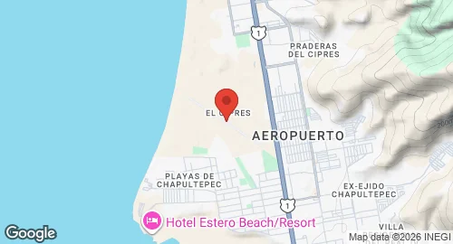
| Coordinates | 31.7953°N, -116.6025°E |
| Elevation | 20 m (66 ft) |
| IATA code | ESE |
| ICAO code | MMES |
| Runways |
|
Description
Ensenada International Airport, officially designated as Aeropuerto Internacional Gral. Alberto L. Salinas Carranza and Air Force Base No. 3 (B.A.M. 3), is located in the urban zone of Ensenada, Baja California. The facility is accessible via Federal Highway 1. Established in 1942 as El Ciprés Military Airfield, the site officially became an Air Force Base in 1955 under the administration of President Ruiz Cortines. It is named after the aviator Alberto L. Salinas Carranza.
The Mexican Department of Defense operates the airport, which functions as a military facility while facilitating commuter flights and general aviation within the Baja California peninsula. Air Force Base No. 3 hosts Squadron 203, which operates Beechcraft T-6C+ Texan II aircraft. The site also supports air taxi flights and flight training conducted by the Instituto Aeronáutico del Noroeste.
Infrastructure includes an asphalt runway and multiple aprons for military and general aviation aircraft. The installation provides support facilities for Mexican Air Force personnel, including housing units, hospitals, pharmacies, schools, and administrative offices. Operational infrastructure includes command centers for the base and the Federal Aviation Administration, as well as an airport command center. Specialized facilities include Immigration and Customs services, along with workshops for aviation mechanics and electronics.