Guerrero Negro Airport (Estación Aérea Militar N.º 2 Guerrero Negro)
Summary
| Operating Country | 🇲🇽 Mexico |
| Location | 🇲🇽 Mexico |
| Status | ◉ Active |
| Usage | Dual |
| Operating Organization | Mexican Air Force |
Location & Details
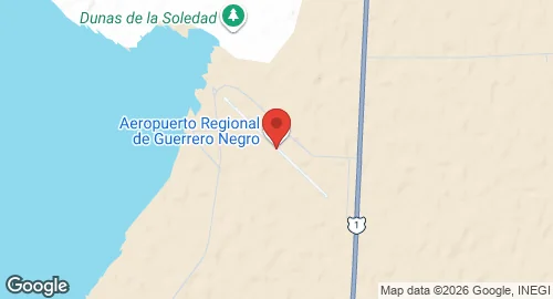
| Coordinates | 28.0258°N, -114.0239°E |
| Elevation | 18 m (59 ft) |
| IATA code | GUB |
| ICAO code | MMGR |
| Runways |
|
Description
Guerrero Negro Airport is located in the municipality of San Quintín, Baja California, Mexico, and serves the region of Guerrero Negro, Baja California Sur. The facility is operated by Exportadora de Sal S.A. and supports regional aviation and general aviation activities.
The airport grounds host Air Force Station No. 2 (Estación Aérea Militar N.º 2). This military installation functions without active squadrons currently assigned to the site.
Infrastructure at the facility includes an apron, hangars, and a terminal building. The military-specific components of Air Force Station No. 2 consist of a dedicated small apron, one hangar, and facilities designed to accommodate Air Force personnel.