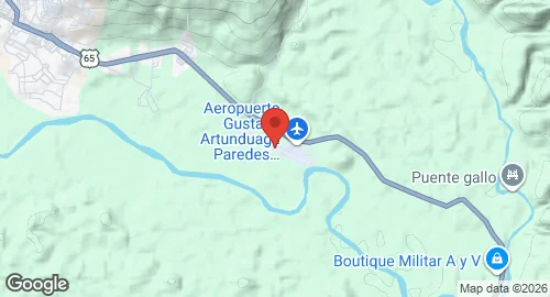
Gustavo Artunduaga Paredes Airport (Capitolio)
Summary
| Operating Country | 🇨🇴 Colombia |
| Location | 🇨🇴 Colombia |
| Status | ◉ Active |
| Usage | Dual |
| Operating Organization | SATENA |
| Units |
|
Location & Details
| Coordinates | 1.5889°N, -75.5639°E |
| Elevation | 246 m (807 ft) |
| IATA code | FLA |
| ICAO code | SKFL |
| Runways |
|
Description
Gustavo Artunduaga Paredes Airport is a regional facility serving Florencia, the capital of the Caquetá Department in Colombia. The site is located between the villages of San Martin and Venice on the route connecting Florencia with the municipality of La Montañita. It serves as a base for commercial cargo and passenger traffic, general aviation, and flights operated by the Colombian police and military. Scheduled operations are conducted by airlines such as Avianca and the state-owned Satena.
Airside infrastructure includes an asphalt runway and three taxiways designated Alpha, Bravo, and Charlie. The parking apron provides designated positions for commercial aircraft, general aviation, and helicopters. Support facilities include a nine-level control tower, a fire department, and Jet A-1 fueling infrastructure. Navigational services are supported by the Florencia VOR-DME located on the field. The passenger terminal contains check-in areas, departure lounges, cargo holds, and administrative offices for law enforcement and health services.