Hood Army Airfield
Summary
| Operating Country | 🇺🇸 United States |
| Location | 🇺🇸 United States |
| Status | ◉ Active |
| Usage | Military only |
| Year built | 1943 |
| Operating Organization | US Army |
| Units |
|
Location & Details
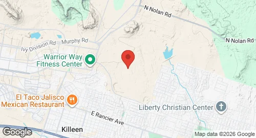
| Coordinates | 31.1386°N, -97.7144°E |
| Elevation | 924 m (3,031 ft) |
| IATA code | HLR |
| ICAO code | KHLR |
| Runways |
|
Description
Yoakum–DeFrenn Army Heliport is a U.S. Army aviation facility located at Fort Hood in Killeen, Texas. Formerly designated as Hood Army Airfield, the installation was renamed on May 4, 2023, in honor of Army pilots Keith Yoakum and Jason DeFrenn.
The facility is owned and operated by the U.S. Army and functions as a military airport. It operates in conjunction with Robert Gray Army Airfield. Infrastructure at the heliport is supplemented by two auxiliary landing strips located at North Fort Hood, identified as Shorthorn Auxiliary Landing Strip and Longhorn Auxiliary Landing Strip. These additional sites support aviation operations within the Fort Hood military reservation.