Iquitos Air Base (Lieutenant Bergerie airport)
Summary
| Operating Country | 🇵🇪 Peru |
| Location | 🇵🇪 Peru |
| Status | ◉ Active |
| Usage | Dual |
| Year built | 1979 |
| Operating Organization | Peruvian Air Force |
| Units |
|
Location & Details
| Coordinates | -3.7847°N, -73.3088°E |
| Elevation | 126 m (413 ft) |
| IATA code | IQT |
| ICAO code | SPQT |
| Runways |
|
Description
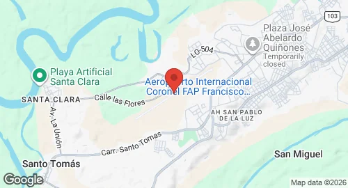
Coronel FAP Francisco Secada Vignetta International Airport is located seven kilometers southeast of the center of Iquitos in the Loreto Region. The facility replaced the Lieutenant Bergerie airport in 1979. It was named in 1973 to honor Peruvian Air Force pilot Colonel Francisco Secada Vignetta, who flew reconnaissance and bombing missions during the 1932-33 war with Colombia.
The facility is administered by Aeropuertos del Perú under a concession granted in 2006. It functions as a logistical hub for the Peruvian Amazon due to the city’s lack of road access. The airport supports commercial and cargo operations by carriers including LATAM Perú, Sky Airline, and Star Perú, providing transport between Iquitos, Lima, Pucallpa, and Tarapoto. It also facilitates flights to smaller jungle communities. The facility is the only airport in the Amazonia region with ISO9001 certification.