Ixtepec Airport (Base Aérea Militar No. 2)
Summary
| Operating Country | 🇲🇽 Mexico |
| Location | 🇲🇽 Mexico |
| Status | ◉ Active |
| Usage | Dual |
| Year built | 1942 |
| Operating Organization | Mexican Air Force |
| Units |
|
Location & Details
| Coordinates | 16.4464°N, -95.0936°E |
| Elevation | 31 m (102 ft) |
| IATA code | IZT |
| ICAO code | MMIT |
| Runways |
|
Description
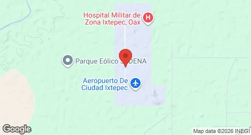
Ixtepec Airport is located in Asunción Ixtaltepec, Oaxaca, Mexico. It serves as Air Force Base No. 2 for the Mexican Air Force and supports aviation activities for the Istmo Region, including Juchitán, Salina Cruz, and Tehuantepec. The airbase was constructed during World War II. In 1945, Mexicana de Aviación took over management of the field. The facility returned to federal government control in 1949 and was designated as a Mexican Air Force Base in 1950. Since 2023, the airport has been managed by Grupo Olmeca-Maya-Mexica (GAFSACOMM), a military-owned holding company.
The facility operates as a dual-use military and civil airport, supporting Mexican Air Force operations, commuter flights, and general aviation. It is the station for the 402nd Air Squadron and the first surveillance squadron.
The base hosts the 402nd Air Squadron, which operates T-6 Texan II aircraft, and the first surveillance squadron, which utilizes C-26 and Embraer ERJ-145 aircraft. Infrastructure includes a commercial aviation apron with capacity for narrow-body aircraft and stands for general aviation. The passenger terminal is a single-story building containing a check-in area, security checkpoint, and an arrivals hall. Military infrastructure includes hangars, administrative offices, housing units, and a hospital for Air Force personnel.