José María Córdova International Airport
Summary
| Operating Country | 🇨🇴 Colombia |
| Location | 🇨🇴 Colombia |
| Status | ◉ Active |
| Usage | Dual |
| Year built | 1985 |
| Operating Organization | Colombian Air Force |
| Units |
|
Location & Details
| Coordinates | 6.1672°N, -75.4267°E |
| Elevation | 2,142 m (7,028 ft) |
| IATA code | MDE |
| ICAO code | SKRG |
| Runways |
|
Description
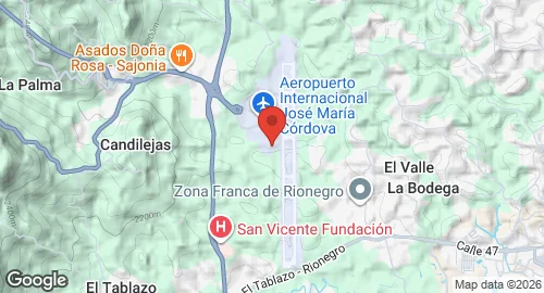
José María Córdova International Airport is located in Rionegro, 20 kilometers southeast of Medellín in the Antioquia Department. The facility was established following 1970s assessments that identified expansion limitations at the Olaya Herrera Airport. Construction took place in the San Nicolas valley, and the airport opened on August 29, 1985. It is named after Colombian army general José María Córdova.
The airfield is managed by Grupo Aeroportuario del Sureste and functions as a dual-use facility. It hosts the Colombian Air Force unit Air Combat Command No. 5 (CACOM 5). The installation supports the operation of various types of military and National Police aircraft. The airport also serves as the primary base for Avianca Cargo, which maintains logistics operations for routes across South, Central, and North America.
Infrastructure at the site consists of a two-story terminal building with a dome-shaped roof and 17 gates, of which 10 are domestic, seven are international, and four are configured for mixed use. The cargo terminal encompasses 16,000 square meters. The airfield is equipped with VOR, NDB, and ILS navigation aids to facilitate operations during adverse weather conditions. Support facilities include maintenance areas, a parking garage, and dedicated logistics terminals for regional exports.