Kegelman Air Force Auxiliary Field
Summary
| Operating Country | 🇺🇸 United States |
| Location | 🇺🇸 United States |
| Status | ◉ Active |
| Usage | Military only |
| Operating Organization | US Air Force |
| Units |
|
Location & Details
| Coordinates | 36.7381°N, -98.1261°E |
| Elevation | 367 m (1,204 ft) |
| IATA code | CKA |
| ICAO code | KCKA |
| Runways |
|
Description
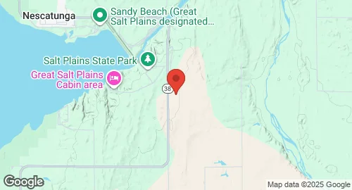
Kegelman Air Force Auxiliary Field is located in Alfalfa County, Oklahoma, 20 kilometers east of Cherokee and adjacent to the Salt Plains National Wildlife Refuge. Originally established as the Great Salt Plains Auxiliary Field, the installation was renamed in 1949 in honor of Colonel Charles Clark Kegelman, a United States Army Air Forces pilot who led the first joint-Allied raid of the Eighth Air Force in 1942. Prior to the independence of the United States Air Force in 1947, administration of the field was conducted by Will Rogers Field, Clovis Army Air Field, Woodward Army Air Field, and Liberal Army Airfield.
The airfield is an operational facility owned by the Department of Defense and operated by the United States Air Force under the Air Education and Training Command. It serves as a sub-base of Vance Air Force Base and is parented by the 71st Flying Training Wing. The site is utilized by student and instructor pilots for landing practice.
Infrastructure at the 1,066-acre installation includes a fire station, personnel offices, and a NEXRAD tower used for military and civilian weather forecasting. The airfield supports operations of T-6A Texan II aircraft, which utilize the callsign "Dogface" for local maneuvers.