Kingsley Field Air National Guard Base
Summary
| Operating Country | 🇺🇸 United States |
| Location | 🇺🇸 United States |
| Status | ◉ Active |
| Usage | Dual |
| Year built | 1928 |
| Operating Organization | US Air National Guard |
| Units |
|
Location & Details
| Coordinates | 42.1561°N, -121.7331°E |
| Elevation | 1,248 m (4,094 ft) |
| IATA code | LMT |
| ICAO code | KLMT |
| Runways |
|
Description
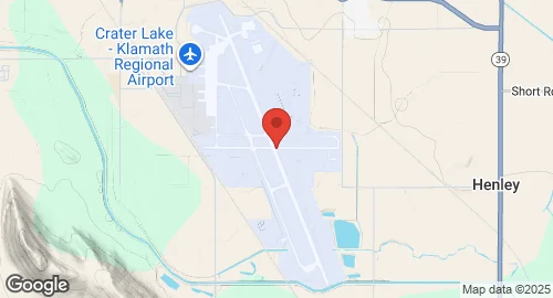
Crater Lake–Klamath Regional Airport, also known as Kingsley Field, is a public use airport located five miles southeast of Klamath Falls, Oregon. It serves Klamath Falls and is owned by the City of Klamath Falls. The airport is utilized by general aviation, military aviation, and commercial airline flights, operating as a joint-use civil-military facility.
Established in 1928 as Klamath Falls Municipal Airport with gravel runways, it was selected in 1942 for a Naval Air Station, NAS Klamath Falls, before being transferred back to civil use in 1945. In 1954, it became a U.S. Air Force Air Defense Command base. In 1957, the airport was dedicated as Kingsley Field, honoring 2nd Lieutenant David R. Kingsley, USAAF. Control was transferred from active duty Air Force to the Oregon Air National Guard in 1978.
Kingsley Field is currently home to the Oregon Air National Guard's 173d Fighter Wing (173 FW), which operates the F-15 Eagle. The 173 FW functions as an advanced air-to-air combat training center for F-15 pilots from both the Regular Air Force and Air National Guard. The base also hosts joint and combined air combat exercises for US military services and Canada, and is home to a USAF flight surgeon training school. Future plans include hosting a Lockheed Martin F-35 Lightning II training unit from approximately 2025.
The airport covers 1,251 acres at an elevation of 1,248 meters. It features two runways: 14/32, measuring 3,140 meters with an asphalt/concrete surface, and 7/25, measuring 1,603 meters with an asphalt surface. In 2021, the airport recorded 35,123 aircraft operations, with 37% attributed to military activity. The airport also houses the Klamath Falls Interagency Fire Center and the Klamath Falls Airtanker Base.