La Aurora International Airport
Summary
| Operating Country | 🇬🇹 Guatemala |
| Location | 🇬🇹 Guatemala |
| Status | ◉ Active |
| Usage | Dual |
| Year built | 1941 |
| Operating Organization | Guatemalan Air Force |
| Units |
|
Location & Details
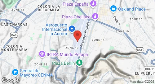
| Coordinates | 14.5833°N, -90.5275°E |
| Elevation | 1,489 m (4,885 ft) |
| IATA code | GUA |
| ICAO code | MGGT |
| Runways |
|
Description
La Aurora International Airport is located 6.4 kilometers south of Guatemala City’s center in Zone 13. During World War II, the facility was utilized by the United States Army Air Forces Sixth Air Force and was known as Guatemala City Air Base. Development of the airfield began in early 1942 by the 805th Engineer Aviation Battalion. Historical units assigned to the base included the 51st Fighter Squadron, which operated P-40 Warhawk aircraft, and the 74th and 44th Bombardment Squadrons, which operated B-18 Bolo and B-17 Flying Fortress aircraft. After 1945, the installation was used for training the Guatemalan Air Force before being transferred to local authorities on July 28, 1949.
The facility is currently administered by the General Directorate of Civil Aeronautics, which is headquartered on-site. It functions as the primary aviation hub for Guatemala.
Infrastructure consists of the Central and North terminals. The North concourse contains twelve traditional gates and three remote gates. The Central concourse is designed for larger aircraft, providing four to six gates depending on airframe size. The terminal facilities were expanded in 2008 to accommodate up to twenty-two aircraft simultaneously. Dedicated cargo operations are handled by COMBEX-IM and DHL in facilities adjacent to the passenger terminals. The airport hosts various aircraft types, including wide-body models such as the Airbus A340.