Matacán Air Base
Summary
| Operating Country | 🇪🇸 Spain |
| Location | 🇪🇸 Spain |
| Status | ◉ Active |
| Usage | Dual |
| Year built | 1936 |
| Operating Organization | Ejército del Aire |
| Units |
|
Location & Details
| Coordinates | 40.9519°N, -5.5019°E |
| Elevation | 790 m (2,592 ft) |
| IATA code | SLM |
| ICAO code | LESA |
| Runways |
|
Description
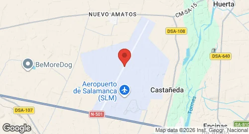
Matacán Air Base is located 17 kilometers from Salamanca, Spain, within the municipalities of Machacón, Calvarrasa de Abajo, and Villagonzalo de Tormes. The site was selected on October 15, 1936, during the Spanish Civil War. In 1937, the airline Iberia L.A.E. established its headquarters at the base, utilizing Junkers Ju-52 aircraft until relocating to Madrid-Barajas in 1939. The Salamanca City Council ceded the grounds to the Air Force on July 16, 1940, and the facility officially opened to national and international civil traffic in July 1946.
The Ministry of Defense owns the base, while Aena manages civil operations. The primary military unit stationed at the facility is the Grupo de Escuelas de Matacán (GRUEMA). This group provides training for Spanish Armed Forces personnel in military air transport, air traffic control, and the operation of unmanned aerial systems. It also conducts training in the fighter and attack specialty for Air Force personnel. The base serves as the operations site for the Adventia flight school, the successor to the Escuela Nacional de Aeronáutica established in 1974.
Infrastructure includes a shared-use runway for civil and military traffic and a civil terminal building that opened in 2005. This terminal separates commercial passenger processing from military functions.
Since 2012, civil operations have been restricted to six and a half hours per day, while military operations maintain 24-hour availability. Recent modifications to technical infrastructure include the decommissioning of several radio aids, specifically the NDB SCA, MTN, ZMR, and VGD. Regular scheduled commercial flights ceased in 2015, with subsequent civil traffic consisting of seasonal service to Palma de Mallorca and Gran Canaria.