Oaxaca International Airport (Base Aérea Militar No. 15 San Juan Bautista La Raya)
Summary
| Operating Country | 🇲🇽 Mexico |
| Location | 🇲🇽 Mexico |
| Status | ◉ Active |
| Usage | Dual |
| Operating Organization | Mexican Army |
| Units |
|
Location & Details
| Coordinates | 16.9999°N, -96.7266°E |
| Elevation | 1,521 m (4,990 ft) |
| IATA code | OAX |
| ICAO code | MMOX |
| Runways |
|
Description
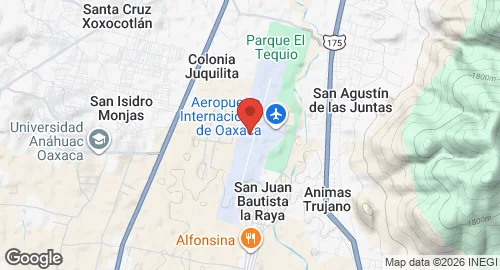
Oaxaca International Airport, officially Aeropuerto Internacional Xoxocotlán, is located in the municipality of Santa Cruz Xoxocotlán, a southern suburb of Oaxaca City. The airport is operated by Grupo Aeroportuario del Sureste (ASUR) and handles domestic and international air traffic for the Metropolitan Area of Oaxaca. It serves as a hub for the regional airline Aerotucán and supports logistics, courier companies, and flight training.
Air Force Base No. 15 (Base Aérea Militar No. 15 San Juan Bautista La Raya, Oaxaca) is situated in the southern section of the airport grounds. This military installation hosts Air Force Squadron 103, which operates Bell 212 helicopters.
Infrastructure at the facility includes a passenger terminal and civil aviation hangars. The military facilities at Air Force Base No. 15 consist of a 5,950-square-metre apron and two hangars. The airport also maintains a general aviation apron with heliports and parking for fixed-wing aircraft. The site is equipped to support executive and general aviation, with an operational capacity of 22 operations per hour. Commercial infrastructure includes an apron with nine stands for narrow-body aircraft and cargo handling facilities.