Simón Bolívar International Airport
Summary
| Operating Country | 🇨🇴 Colombia |
| Location | 🇨🇴 Colombia |
| Status | ◉ Active |
| Usage | Dual |
| Year built | 1949 |
| Operating Organization | Aeropuertos De Oriente S.A.S. |
Location & Details
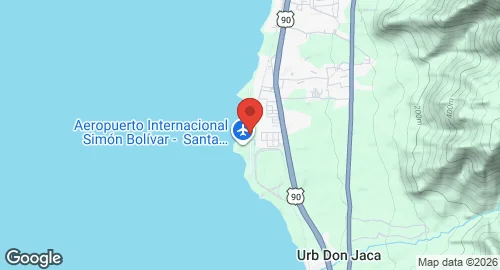
| Coordinates | 11.1194°N, -74.2306°E |
| Elevation | 7 m (23 ft) |
| IATA code | SMR |
| ICAO code | SKSM |
| Runways |
|
Description
Simón Bolívar International Airport is located 14 kilometers south of the Santa Marta city center on the shores of the Caribbean Sea and 18 kilometers north of the municipality of Ciénaga. The facility was inaugurated on December 8, 1949, by the company Líneas Aéreas Nacionales (LANZA). At the time of construction, the site was configured for both land and water operations, utilizing a track parallel to the coastline and deep-water access for seaplanes. The airport was designated as an international facility in 2007.
The airport is operated by Aeropuertos De Oriente S.A.S. under a concession agreement with Aerocivil. Current operations include domestic services by Avianca, Jetsmart Colombia, LATAM Colombia, and Wingo, with Copa Airlines providing international flights. Between October 2018 and early 2019, the facility served as an operational base for Viva Air Colombia.
Infrastructure includes an eight-story control tower that has been operational since May 2016. A renovation project completed in February 2018 expanded the terminal building and increased the apron area to 30,702 square meters. The terminal is equipped with five glass-walled jet bridges and a check-in area with 24 counters. Supporting facilities consist of a primary medical health care unit, airline offices, and an underground parking area. The airport hosts aircraft types including the Airbus A318, A319, and A320, the Embraer 170 and 190, and the Boeing 737 and 767. The Santa Marta VOR/DME (Ident: STA) is located 9.7 nautical miles south of the facility.