Tampico International Airport (Campo de Aviación George Lawrence Rihl)
Summary
| Operating Country | 🇲🇽 Mexico |
| Location | 🇲🇽 Mexico |
| Status | ◉ Active |
| Usage | Dual |
| Year built | 1929 |
| Operating Organization | Mexican Air Force |
| Units |
|
Location & Details
| Coordinates | 22.2964°N, -97.8659°E |
| Elevation | 24 m (79 ft) |
| IATA code | TAM |
| ICAO code | MMTM |
| Runways |
|
Description
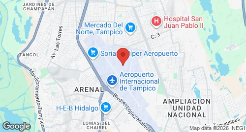
General Francisco Javier Mina International Airport is located in Tampico, Tamaulipas, eight kilometers north of the city center. Inaugurated in October 1929 as Campo de Aviación George Lawrence Rihl, the facility conducted the first commercial flight in Mexican history. The airport serves the Tampico metropolitan area, including the municipalities of Ciudad Madero and Altamira.
The site is operated by Grupo Aeroportuario Centro Norte and functions as a dual-use facility supporting commercial aviation, cargo logistics, and flight training. The Mexican Air Force maintains Air Force Station No. 4 (Estación Aérea Militar N.º 4) on the airport grounds. This military installation includes a hangar and facilities for personnel, though no active squadrons are currently assigned to the station.
Infrastructure consists of three asphalt runways and an instrument landing system (ILS). Military facilities include a 10,000-square-meter apron. The commercial sector features a two-story passenger terminal with six gates and two jet bridges. Additional infrastructure includes a general aviation terminal, civil aviation hangars, and dedicated aprons for narrow-body aircraft, fixed-wing general aviation, and helicopters.