Viru Viru Air Base (Birubiru)
Summary
| Operating Country | 🇧🇴 Bolivia |
| Location | 🇧🇴 Bolivia |
| Status | ◉ Active |
| Usage | Dual |
| Year built | 1983 |
| Operating Organization | Bolivian Air Force |
| Units |
|
Location & Details
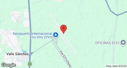
| Coordinates | -17.6448°N, -63.1354°E |
| Elevation | 373 m (1,224 ft) |
| IATA code | VVI |
| ICAO code | SLVR |
| Runways |
|
Description
Viru Viru is located 17 km north of Santa Cruz de la Sierra, Bolivia. General René Barrientos planned the facility in 1965 to function as an intercontinental terminal. Construction concluded in 1983, at which point the site replaced El Trompillo Airport as the primary gateway for international traffic.
From 1997, the facility was operated by Servicios de Aeropuertos Bolivianos Sociedad Anonima (SABSA) under a 25-year contract. Management transferred from Airport Group International to TBI plc in 1999, and subsequently to Abertis/AENA in 2004. The Bolivian government nationalized the facility in 2013. In March 2022, the state-owned agency Navegación Aérea y Aeropuertos Bolivianos (NAABOL) assumed management and operations.
The facility functions as the primary terminal for international traffic in Bolivia and serves as a focus city for Boliviana de Aviación. It maintains routes to South America, North America, and Europe. Under NAABOL administration, the site remains the most active aviation hub in the country.