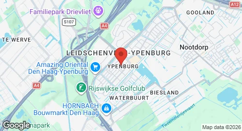
Ypenburg Air Base (Vliegveld Ypenburg)
Summary
| Operating Country | 🇳🇱 Netherlands |
| Location | 🇳🇱 Netherlands |
| Status | ◉ Closed |
| Usage | Dual |
| Year built | 1936 |
| Year closed | 1992 |
| Operating Organization | Royal Netherlands Air Force |
Location & Details
| Coordinates | 52.0400°N, 4.3650°E |
| ICAO code | EHYB |
Description
Ypenburg Air Base was located in Leidschenveen-Ypenburg near The Hague. Established in 1936 for recreational use, the airfield was the site of a failed German airborne landing during the Battle for The Hague in 1940. Dutch forces recaptured the field, and the Luftwaffe made limited use of the facility for the remainder of World War II.
Following the war, the site functioned as a civilian airport until its conversion to a military air base in 1955. From 1968, flight operations decreased, and the base transitioned to a role as a VIP airport for the Dutch royal family and government officials. The decision to close the installation was made in 1982, though the Royal Netherlands Air Force continued operations until 1992. Military cargo aircraft utilized the base during the Gulf War prior to its abandonment.
In 1997, the site was redeveloped into the residential area of Leidschenveen-Ypenburg. The former air traffic control tower is the only structure from the original airfield infrastructure that remains.