Acapulco International Airport (Aeropuerto Internacional General Juan N. Álvarez)
Summary
| Operating Country | 🇲🇽 Mexico |
| Location | 🇲🇽 Mexico |
| Status | ◉ Active |
| Usage | Dual |
| Year built | 1954 |
| Operating Organization | Grupo Aeroportuario Centro Norte (OMA) |
Location & Details
| Coordinates | 16.7560°N, -99.7516°E |
| Elevation | 4 m (13 ft) |
| IATA code | ACA |
| ICAO code | MMAA |
| Runways |
|
Description
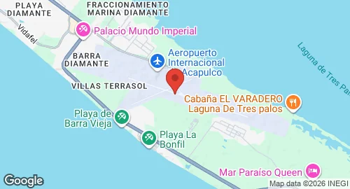
General Juan N. Álvarez International Airport is located 16 kilometres southeast of Acapulco, Guerrero, in the Plan de los Amates zone between Tres Palos Lagoon and the Pacific Ocean. The facility was established in 1954 to replace the 1945 airport at Pie de la Cuesta, which was transferred to the Mexican Air Force to serve as Air Force Base No. 7. Between 1970 and 1973, the infrastructure was expanded with the construction of a control tower, an apron, taxiways, and fuel storage facilities.
The airport is operated by Grupo Aeroportuario Centro Norte (OMA). Its current functions include supporting flight training, executive aviation, and cargo logistics.
The installation covers 450 hectares and includes two runways and six taxiways. The apron provides 18 parking positions. Infrastructure includes a 19,000-square-metre passenger terminal, civil aviation hangars, and a dedicated general aviation terminal. The facility is capable of accommodating aircraft up to the Boeing 747. In 2018, the terminal underwent renovation with the construction of a new building. The passenger terminal contains six gates, three of which are equipped with jet bridges.