Charlotte Air National Guard Base
Summary
| Operating Country | 🇺🇸 United States |
| Location | 🇺🇸 United States |
| Status | ◉ Active |
| Usage | Dual |
| Year built | 1935 |
| Operating Organization | US Air National Guard |
| Units |
|
Location & Details
| Coordinates | 35.2139°N, -80.9431°E |
| Elevation | 228 m (748 ft) |
| IATA code | CLT |
| ICAO code | KCLT |
| Runways |
|
| Website | www.cltairport.com |
Description
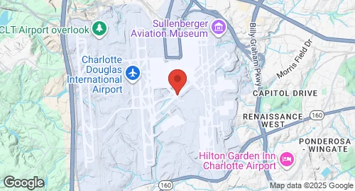
Charlotte Air National Guard Base is located at Charlotte Douglas International Airport in North Carolina, situated approximately six miles west of the Charlotte central business district. The United States Army Air Forces established the facility as Charlotte Air Base in early 1941, later renaming it Morris Field following the attack on Pearl Harbor. During this period, the Third Air Force utilized the airfield for antisubmarine patrols and training. The United States military invested more than $5 million in airfield improvements before returning the facility to the City of Charlotte in 1946.
The base currently operates as part of a commercial-civil-military facility on a site encompassing 5,558 acres. It hosts the 145th Airlift Wing of the North Carolina Air National Guard, which serves as the host unit for the installation. The wing conducts airlift missions as its primary operational role.
Infrastructure at the base is integrated with the larger airport environment, which includes a dedicated military area for the 145th Airlift Wing. The facility supports the wing's specialized requirements within the joint-use airfield. Static aeronautical displays at the airport complex include a restored F-4 Phantom II located at a public viewing area.