Francisco Sarabia National Airport (Tuxtla Gutiérrez Air Force Base)
Summary
| Operating Country | 🇲🇽 Mexico |
| Location | 🇲🇽 Mexico |
| Status | ◉ Active |
| Usage | Military only |
| Year built | 1957 |
| Operating Organization | Mexican Air Force |
| Units |
|
Location & Details
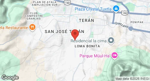
| Coordinates | 16.7400°N, -93.1732°E |
| Elevation | 1,490 m (4,888 ft) |
| IATA code | TGZ |
| ICAO code | MMTG |
| Runways |
|
Description
Base Aérea Militar No. 6 (B.A.M. 6), officially designated as General Aviador Ángel Hipólito Corzo Molina and formerly known as Francisco Sarabia National Airport or Terán Airport, is located west of the Tuxtla Gutiérrez city center in Chiapas. Established in 1957 as a commercial airport, the facility served as the regional aviation site until 1980, when civil operations relocated to Llano San Juan Airport. Due to meteorological constraints at the alternate location, commercial operations returned to Terán in the late 1990s. Airlines including Mexicana, Aviacsa, Aerocaribe, and Mexicana Click operated from the site until 2006, when all civil aviation transferred to the Tuxtla Gutiérrez International Airport.
The installation is currently used exclusively for military purposes and is operated by the Mexican Air Force. It hosts the 202 Air Squadron, which operates Pilatus PC-7 and Pilatus PC-9 aircraft. Infrastructure at the base includes an asphalt-surfaced runway, helipads, and an apron with parking positions for narrow-body aircraft. Support facilities consist of a hangar, a control tower, the former passenger terminal, and structures for housing personnel.