Homey Airport
Summary
| Operating Country | 🇺🇸 United States |
| Location | 🇺🇸 United States |
| Status | ◉ Active |
| Usage | Military only |
| Year built | 1955 |
| Operating Organization | US Air Force |
| Units |
|
Location & Details
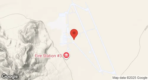
| Coordinates | 37.2333°N, -115.8083°E |
| Elevation | 1,370 m (4,495 ft) |
| ICAO code | KXTA |
| Runways |
|
Description
Area 51, officially known as Homey Airport (ICAO: KXTA) or Groom Lake, is a highly classified United States Air Force facility located within the Nevada Test and Training Range, approximately 83 miles north-northwest of Las Vegas. Owned by the Department of Defense and operated by the United States Air Force under the Air Force Materiel Command, it serves as a development and testing facility. The base was constructed in 1955, initially named Paradise Ranch, primarily for flight tests of the Lockheed U-2 strategic reconnaissance aircraft. It has remained operational since its establishment.
The facility features a 4,494-foot (1,370-meter) elevation and multiple runways, including a 3,657-meter asphalt runway (14L/32R) and several dry lakebed runways. Throughout its history, Area 51 has been central to the development and testing of various experimental aircraft. Following the U-2 program, it supported Project OXCART for the Lockheed A-12, which led to significant base expansions including a new 3,000-meter runway. The base also hosted the D-21 Tagboard drone program and, during the Cold War, was used for the evaluation of captured Soviet fighter aircraft under programs like HAVE DOUGHNUT, HAVE DRILL, and HAVE FERRY. These programs involved testing aircraft like the MiG-21 and MiG-17 to understand their capabilities against U.S. fighters.
More recently, Area 51 played a role in the development of stealth technology, notably for the Lockheed Have Blue prototype and the F-117 Nighthawk. While the F-117's operational unit, the 4450th Tactical Group, eventually moved to Tonopah Test Range Airport, Area 51 continued to conduct acceptance testing, radar profiling, and weapons testing for the aircraft. The base continues to be administered by the Air Force Test Center (Detachment 3). The airspace around Groom Lake is permanently restricted to civilian and normal military air traffic, with strict security measures in place.