Naval Base Ventura County - Point Mugu
Summary
| Operating Country | 🇺🇸 United States |
| Location | 🇺🇸 United States |
| Status | ◉ Active |
| Usage | Military only |
| Year built | 1941 |
| Operating Organization | US Navy |
| Units |
|
Location & Details
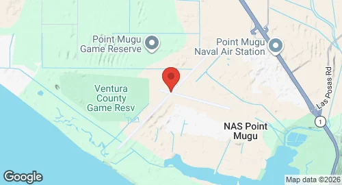
| Coordinates | 34.1203°N, -119.1211°E |
| Elevation | 13 m (43 ft) |
| IATA code | NTD |
| ICAO code | KNTD |
| Runways |
|
Description
Naval Base Ventura County - Point Mugu is located near Oxnard, California. Established in 1941, the facility initially functioned as a United States Navy anti-aircraft training center. In the late 1940s, the site transitioned to missile development and testing. It served as the location for testing naval ordnance during the 1950s and 1960s, including the AIM-7 Sparrow, AIM-54 Phoenix, Bullpup air-to-surface, and Regulus surface-to-surface missiles.
In 2000, the station merged with Naval Construction Battalion Center Port Hueneme to form Naval Base Ventura County. The United States Navy operates the installation. Infrastructure includes an instrumented test range that extends offshore to San Nicolas Island. The base hosts the 146th Airlift Wing of the California Air National Guard at the Channel Islands Air National Guard Station, an annex activated in 1990 on land adjacent to the main facility.
Historical units stationed at the base include the United States Navy Marine Mammal Program, located there from 1963 to 1967, and Antarctic Development Squadron SIX (VXE-6). VXE-6 operated Lockheed LC-130 and Bell UH-1N Twin Huey aircraft until the late 1990s. The airfield provided logistics for presidential travel between 1981 and 1989 and was the departure point for the state funeral of Ronald Reagan in 2004.