Pardubice Airport (Letiště Pardubice)
Summary
| Operating Country | 🇨🇿 Czechia |
| Location | 🇨🇿 Czechia |
| Status | ◉ Active |
| Usage | Dual |
| Year built | 1910 |
| Operating Organization | Czech Air Force |
| Units |
|
Location & Details
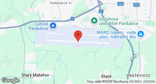
| Coordinates | 50.0134°N, 15.7386°E |
| Elevation | 225 m (738 ft) |
| IATA code | PED |
| ICAO code | LKPD |
| Runways |
|
Description
Pardubice Airport is a combined military and civilian international airport located in Pardubice, Czech Republic. Aviation activity began at the site in 1910 with flight experiments conducted on a military exercise ground. The Pardubice Aviation Society was established in 1911, and modern infrastructure was developed between 1936 and 1937. During World War II, the Luftwaffe used the site for pilot training and combat operations. From 1950 to 1995, the airport was restricted to military use and served as a pilot training center. During this period, the facility hosted the 4th and 18th Fighter Air Wings, the 47th Reconnaissance Wing, and the 30th Strafer Wing. Historical aircraft inventories included the S-199, MiG-15, MiG-19, MiG-21, Su-22, and Su-25K.
Current operations include both civilian commercial services and military training. The facility is managed by East Bohemian Airport, a.s., while the Czech Air Force Flight Training Center has operated at the airport since 2004, managed by LOM PRAHA s.p., providing primary flight training for the Czech Air Force. Infrastructure includes a concrete runway and the Jan Kašpar terminal building, which opened in 2017.