Peoria Air National Guard Base
Summary
| Operating Country | 🇺🇸 United States |
| Location | 🇺🇸 United States |
| Status | ◉ Active |
| Usage | Dual |
| Operating Organization | US Air National Guard |
| Units |
|
Location & Details
| Coordinates | 40.6588°N, -89.6979°E |
| Elevation | 201 m (659 ft) |
| IATA code | PIA |
| ICAO code | KPIA |
| Runways |
|
| Website | www.182aw.ang.af.mil/ |
Description
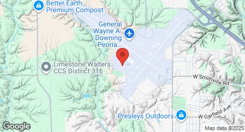
Peoria Air National Guard Base is located in Peoria County, Illinois, at the General Wayne A. Downing Peoria International Airport. The installation is a joint civil-military airport owned by the Department of Defense, operated by the United States Air Force, and controlled by the Illinois Air National Guard.
The 182nd Airlift Wing serves as the host unit for the installation. It is an Air Mobility Command-gained unit tasked with the strategic airlift of personnel and cargo, tactical airdrop of equipment and supplies, and aeromedical evacuation. Stationed units include the 182nd Operations Group and the 169th Airlift Squadron. The base also houses the 182nd Air Support Operations Group, which includes the 168th and 169th Air Support Operations Squadrons. Other units at the facility include the 264th Combat Communications Squadron and the 566th Air Force Band.
The base operates C-130H3 Hercules aircraft to support tactical airlift missions. These aircraft are capable of operating from rough, dirt strips to transport troops and equipment. The infrastructure supports the rapid movement and sustainment of personnel and equipment.