Reno Air National Guard Base
Summary
| Operating Country | 🇺🇸 United States |
| Location | 🇺🇸 United States |
| Status | ◉ Active |
| Usage | Dual |
| Year built | 1929 |
| Operating Organization | US Air National Guard |
| Units |
|
Location & Details
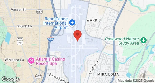
| Coordinates | 39.4992°N, -119.7681°E |
| Elevation | 1,346 m (4,416 ft) |
| IATA code | RNO |
| ICAO code | KRNO |
| Runways |
|
Description
Reno–Tahoe International Airport (RNO, KRNO) is a public and military airport located three miles southeast of downtown Reno, in Washoe County, Nevada, United States. It operates under the Reno–Tahoe Airport Authority. The airport was constructed in 1929 by Boeing Transport Inc. and initially named Hubbard Field. It was acquired by United Airlines in 1936 and subsequently purchased by the City of Reno in 1953. The airport received its current name in 1994, honoring both the city and Lake Tahoe. Prior to this, it was known as Cannon International Airport.
The airport features three concrete runways: 17R/35L measuring 11,001 feet (3,353 m), 17L/35R measuring 9,000 feet (2,743 m), and 07/25 measuring 6,102 feet (1,860 m). Its elevation is 1,346 meters (4,415 feet) above mean sea level. Military facilities at the airport include Reno Air National Guard Base, established in 1954. This approximately 60-acre complex is home to the 152nd Airlift Wing, a Nevada Air National Guard unit operating C-130H Hercules aircraft. The airport's airspace is controlled by the Northern California TRACON and Oakland Air Route Traffic Control Center. The passenger terminal is named after former U.S. Senator Howard Cannon. The airport has undergone several expansions, including terminal updates in 1996 and a $70 million project completed in 2010, followed by a $24 million expansion in 2013 that enhanced security checkpoints and dining areas.