Eareckson Air Station
Summary
| Operating Country | 🇺🇸 United States |
| Location | 🇺🇸 United States |
| Status | ◉ Active |
| Usage | Dual |
| Year built | 1943 |
| Operating Organization | US Air Force |
| Units |
|
Location & Details
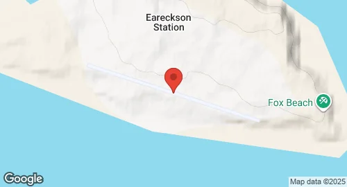
| Coordinates | 52.7122°N, 174.1136°E |
| Elevation | 29 m (95 ft) |
| IATA code | SYA |
| ICAO code | PASY |
| Runways |
|
Description
Eareckson Air Station is a United States Air Force military airport located on Shemya Island in the Aleutian Islands, Alaska. Established in 1943 by United States Army Engineers, the facility was originally designated Shemya Army Airfield. During World War II, it supported Eleventh Air Force offensive operations against Japanese positions in the Kurile Islands. Units assigned during this period included the 404th Bombardment Squadron operating B-24 Liberators and the 344th Fighter Squadron operating P-40 and P-38 aircraft. The station was renamed in 1993 to honor Colonel William O. Eareckson.
In the post-war era, the base served as a refueling stop for the Great Circle Route and provided logistical support during the Korean War. During the Cold War, the station functioned as a Strategic Air Command refueling site for B-52 Stratofortress and KC-135 aircraft and hosted RC-135 reconnaissance platforms. Radar operations began with the AN/FPS-17 and AN/FPS-80 systems, used by the 16th Surveillance Squadron to monitor missile tests on the Kamchatka Peninsula.
The Department of Defense owns the installation. Airfield operations are managed by the Pacific Air Forces Regional Support Center, while the United States Space Force Space Delta 4 oversees radar operations. The 611th Air Support Squadron is the current host unit, with site maintenance performed by Raytheon contractor personnel. The station functions as a refueling point for military aircraft and a diversion airport for civilian trans-Pacific flights.
The primary infrastructure is the AN/FPS-108 Cobra Dane L-band phased-array radar, which has been operational since 1977. This system performs intelligence gathering for ballistic missile defense and treaty verification. Air navigation aids at the station include NDB, TACAN, and VOR systems. The installation contains hangars and support facilities modernized during the 1980s.