Khon Kaen Airport
Summary
| Operating Country | 🇹🇭 Thailand |
| Location | 🇹🇭 Thailand |
| Status | ◉ Active |
| Usage | Dual |
| Year built | 1962 |
| Operating Organization | Department of Airports |
Location & Details
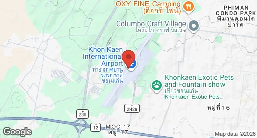
| Coordinates | 16.4666°N, 102.7837°E |
| Elevation | 204 m (669 ft) |
| IATA code | KKC |
| ICAO code | VTUK |
| Runways |
|
Description
Khon Kaen Airport is located in the Ban Pet subdistrict of Khon Kaen Province, Thailand, approximately eight kilometers west of the city center. The facility is operated by the Department of Airports under the Ministry of Transport and was designated as a customs airport on September 1, 1991.
The original airfield was situated in the center of Khon Kaen and featured a laterite runway without communication or navigation aids. During the administration of Prime Minister Sarit Thanarat, the government identified Khon Kaen as a regional development center, necessitating expanded aviation infrastructure. Following an agreement between the Ministry of Interior and the Ministry of Defense, acting through the Air Force, public land west of the city was selected for a new facility. Construction of the current airport commenced in 1962 under the Civil Aviation Authority. Initial infrastructure included a temporary passenger terminal and an asphalt runway. Commercial operations began on February 6, 1963, with Thai Airways Company Limited operating Douglas DC-3 aircraft.
Thai Air Asia utilizes the airport as a regional aviation hub. Current infrastructure includes a four-story passenger terminal housing airline operations, the Department of Airports office, and facilities for customs and immigration. The airfield consists of three taxiways and two parking aprons. The primary apron provides parking positions for aircraft including the Airbus A320 and Boeing 737, while the facility maintains the capacity to support larger airframes such as the Airbus A330 and Boeing 777.