Moody Air Force Base
Summary
| Operating Country | 🇺🇸 United States |
| Location | 🇺🇸 United States |
| Status | ◉ Active |
| Usage | Military only |
| Year built | 1941 |
| Operating Organization | US Air Force |
| Units |
|
Location & Details
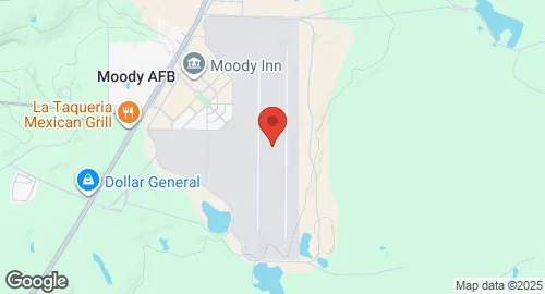
| Coordinates | 30.9686°N, -83.1931°E |
| Elevation | 71 m (233 ft) |
| IATA code | VAD |
| ICAO code | KVAD |
| Runways |
|
| Website | www.moody.af.mil/ |
Description
Moody Air Force Base is located in Lowndes and Lanier counties near Valdosta, Georgia. Established in June 1941 as Valdosta Airfield, the installation was renamed Moody Army Air Field in December 1941 in honor of Major George Moody. During World War II, the base served as a flight training site utilizing AT-10 Wichita aircraft. It was redesignated Moody Air Force Base in 1948. Between 1951 and 1975, the installation operated under Air Training Command, hosting interceptor aircrew training and pilot instruction for domestic and foreign personnel. In 1975, the 347th Tactical Fighter Wing relocated to the base from Korat Royal Thai Air Force Base.
The base is operated by Air Combat Command and hosts the 23rd Wing as the primary unit. Stationed units include the 23rd Fighter Group, the 347th Rescue Group, and the 93d Air Ground Operations Wing. The 476th Fighter Group of the Air Force Reserve Command also operates from the facility as a geographically separate unit. Supporting components include the 820th Base Defense Group along with several fighter generation and maintenance squadrons.
The installation supports multiple aircraft types, including squadrons of A-10C Thunderbolt II ground-attack aircraft, HC-130J Combat King II transport aircraft, and HH-60W Pave Hawk helicopters. The 23rd Fighter Group and the 476th Fighter Group utilize the A-10C for flight operations. The 347th Rescue Group employs the HC-130J and HH-60W platforms for rescue missions. Infrastructure at the base includes maintenance facilities specialized for these airframes and a residential area designated as a census-designated place.