Tuy Hoa Airport (Tuy Hoa Air Base)
Tuy Hoa Airport (also Tuy Hoa Air Base; ICAO VVTH) is an active joint civil-military airfield in Vietnam, operated by the Airports Corporation of Vietnam. It has 3 runways (longest 2,935 m). Home to United States Air Force, U.S. Army.
Facility Details
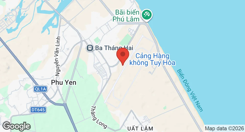
13.0494°N, 109.3336°E · 6 m elevation
| Operating Country | 🇻🇳 Vietnam |
| Location | 🇻🇳 Vietnam |
| Status | Active |
| Usage | Dual |
| Year built | 1966 |
| Operating Organization | Airports Corporation of Vietnam |
| Units |
United States Air ForceU.S. Army
|
| Elevation | 6 m (20 ft) |
| IATA code | TBB |
| ICAO code | VVTH |
| Runways |
03/21 · 2,902 m (9,521 ft) · Concrete02/20 · 844 m (2,769 ft) · Asphalt03R/21L · 2,935 m (9,629 ft) · Concrete
|
Description
Tuy Hoa Airport is located in the Phú Yên ward, south of Tuy Hòa city in the Đắk Lắk province, along the central coast of southern Vietnam. The facility was established in 1966 as Tuy Hoa Air Base for the United States Air Force. It was utilized by the U.S. Air Force from 1966 to 1970 and the U.S. Army from 1970 to 1971 during the Vietnam War. The base was transferred to the Republic of Vietnam in 1971 and came under Communist control in 1975.
The facility is currently operated by the Airports Corporation of Vietnam as a public airport. Its primary role is the facilitation of domestic and international civil aviation. Current operations include scheduled domestic flights to Hanoi and Ho Chi Minh City, as well as international routes to China, Kazakhstan, South Korea, Thailand, and Russia. Carriers operating at the site include Bamboo Airways, Pacific Airlines, VietJet Air, and Vietnam Airlines. Infrastructure at the airport includes an active concrete runway.
- AUG 132026 Updated Runway designations, surfaces and lengths recorded
- JAN 192026 Created Page created: Tuy Hoa Airport