Gustavo Rojas Pinilla International Airport (Sesquicentenario Airport)
Gustavo Rojas Pinilla International Airport (also Sesquicentenario Airport; ICAO SKSP) is an active joint civil-military airfield in Colombia, operated by the Aerocivil. It has 1 runway (2,375 m). Home to Grupo Aéreo del Caribe (GACAR).
Facility Details
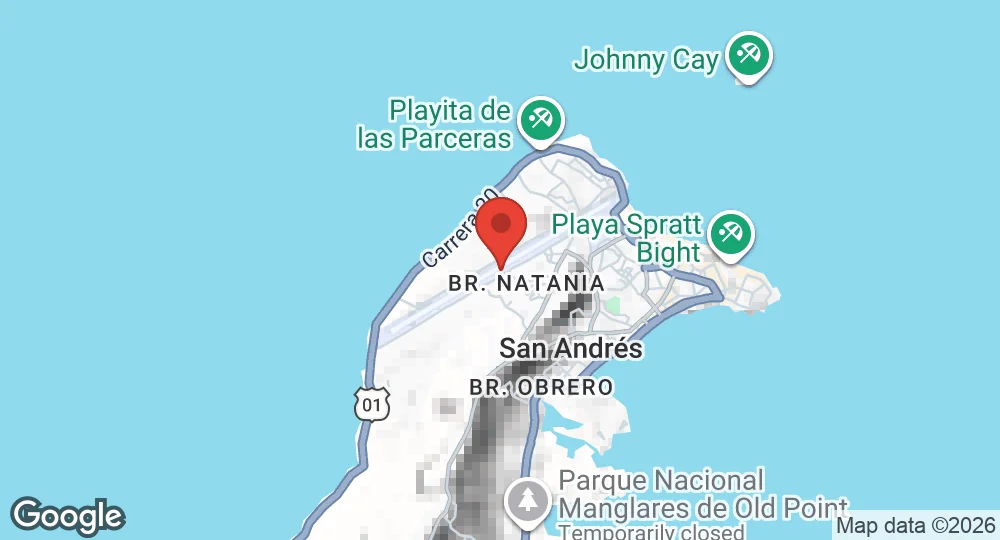
12.5833°N, 81.7111°W · 6 m elevation
| Operating Country | 🇨🇴 Colombia |
| Location | 🇨🇴 Colombia |
| Status | Active |
| Usage | Dual |
| Year built | 1950 |
| Operating Organization | Aerocivil |
| Units |
Grupo Aéreo del Caribe (GACAR)
|
| Elevation | 6 m (20 ft) |
| IATA code | ADZ |
| ICAO code | SKSP |
| Runways |
06/24 · 2,375 m (7,792 ft) · Asphalt
|
Description
Gustavo Rojas Pinilla International Airport is the primary aviation facility for the archipelago of San Andrés, Providencia and Santa Catalina, a department of Colombia. Originally designated Sesquicentenario Airport, the facility was established in the mid-1950s by order of General Gustavo Rojas Pinilla, then president of Colombia. The installation was constructed to provide a transport link between the Caribbean island territory and the Colombian mainland.
The airport facilitates regular scheduled and charter flights. It functions as a transit point for traffic between the archipelago and continental Colombian cities such as Bogotá, Medellín, Cali, Cartagena, and Barranquilla. International operations include flights to Panama City. The infrastructure is capable of supporting large aircraft up to the size of the Airbus A340-200.
- AUG 142026 Updated Resident unit recorded: the Caribbean Air Group, which guards the archipelago
- AUG 132026 Updated Runway records recorded, with elevation, airport codes and official website
- APR 102026 Created Page created: Gustavo Rojas Pinilla International Airport