Matecaña International Airport
Matecaña International Airport (ICAO SKPE) is an active joint civil-military airfield in Colombia, operated by the Aerocivil. It has 1 runway (2,205 m).
Facility Details
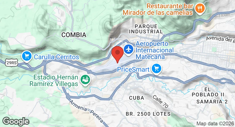
4.8125°N, 75.7403°W · 1,347 m elevation
| Operating Country | 🇨🇴 Colombia |
| Location | 🇨🇴 Colombia |
| Status | Active |
| Usage | Dual |
| Year built | 1944 |
| Operating Organization | Aerocivil |
| Elevation | 1,347 m (4,419 ft) |
| IATA code | PEI |
| ICAO code | SKPE |
| Runways |
08/26 · 2,205 m (7,234 ft) · Asphalt
|
- 136 km Tolemaida Air Base Colombian National Training Center
- 139 km Lieutenant Colonel Luis F. Pinto Parra Air Base Combat Air Command No. 4 (CACOM 4)
- 141 km Captain Germán Olano Moreno Air Base Combat Air Command No. 1
- 155 km José María Córdova International Airport Air Combat Command No. 5 (CACOM 5)
- 158 km Alfonso Bonilla Aragón International Airport Marco Fidel Suarez AFB
- 163 km Major Justino Mariño Cuesto Air Base Maintenance Air Command (CAMAN)
Description
Matecaña International Airport is located two kilometers west of Pereira, Colombia. The site is situated along the edge of a ravine, with terrain elevations in the north, east, and west quadrants. Construction occurred between 1944 and 1947, and the inaugural flight was conducted by a C-47 on July 24, 1947.
The city of Pereira owns the terminal building, while Aerocivil manages aeronautical operations. The facility functions as an alternate airport for Armenia, Cartago, Manizales, Medellín, Cali, and Bogotá. It processes 75 percent of passenger traffic in the coffee region and maintains an average of 30 daily commercial operations. Under a public-private alliance established in 2016, CSS Construction operates the airport.
Infrastructure includes a four-level terminal building containing aircraft parking positions, administrative offices, and domestic and international arrival gates. Two jetways were installed in 1991. The facility includes a cargo terminal and a control tower. In 2014, the runway was extended to meet international certification requirements. The airport is served by the Megabus rapid transit system and general bus services.
- AUG 132026 Updated Runway designations, surfaces and lengths recorded
- APR 102026 Created Page created: Matecaña International Airport