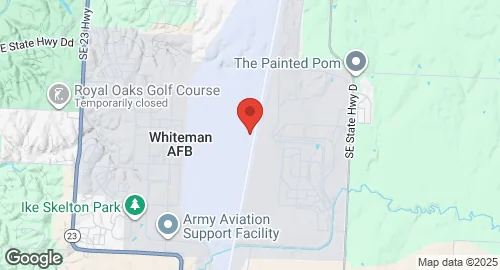
Whiteman Air Force Base
Summary
| Operating Country | 🇺🇸 United States |
| Location | 🇺🇸 United States |
| Status | ◉ Active |
| Usage | Military only |
| Year built | 1942 |
| Operating Organization | US Air Force |
| Units |
|
Description
Whiteman Air Force Base is a United States Air Force installation located south of Knob Noster, Missouri. It was constructed in 1942 as Sedalia Glider Base for WACO glider pilot training, and later renamed Sedalia Army Air Field. After World War II, the base was placed on inactive status in December 1947. It was reactivated and renamed Sedalia Air Force Base in August 1951, subsequently becoming home to the 340th Bombardment Wing, operating B-47 Stratojet and KC-97 Stratofreighter aircraft. On December 3, 1955, it was renamed Whiteman Air Force Base in honor of 2nd Lieutenant George A. Whiteman, an Army Air Corps pilot killed during the attack on Pearl Harbor.
In 1963, Whiteman AFB transitioned to a missile base, hosting the 351st Strategic Missile Wing with LGM-30 Minuteman ICBMs, which were later upgraded to Minuteman II. The 351st Missile Wing was inactivated in July 1995 as part of a Minuteman II phase-out. In 1987, it was announced that Whiteman AFB would become the home of the B-2 Spirit bomber. The 509th Bomb Wing relocated to Whiteman and became the first operational B-2 unit, with the first B-2 arriving on December 17, 1993. Currently, all 19 operational B-2s are based at Whiteman AFB. The base also hosts the 442nd Fighter Wing (Air Force Reserve Command) with A-10C Thunderbolt II aircraft, and the 131st Bomb Wing (Missouri Air National Guard) which operates B-2A Spirit bombers in a classic associate relationship with the 509th Bomb Wing. Other units include the 20th Attack Squadron (MQ-9A Reaper), 72nd Test and Evaluation Squadron (B-2A Spirit), 325th Weapons Squadron (B-2A Spirit), 1st Battalion, 135th Aviation Regiment (AH-64 Apache), and Coastal Riverine Squadron 11.
