Facility Details
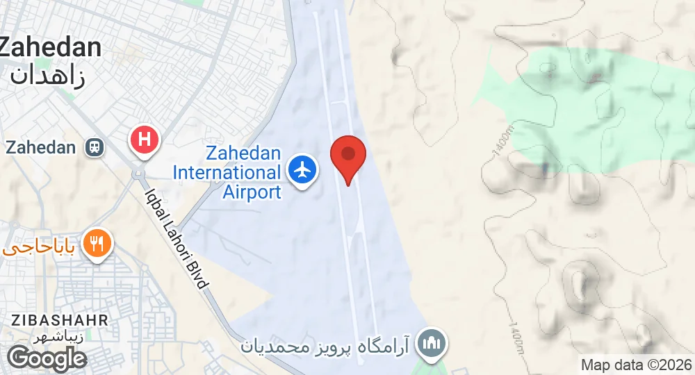
29.4757°N, 60.9062°E · 1,391 m elevation
| Operating Country | 🇮🇷 Iran |
| Location | 🇮🇷 Iran |
| Status | Active |
| Usage | Dual |
| Operating Organization | Islamic Republic of Iran Army Aviation, Islamic Revolutionary Guard Corps, Iranian Police Aviation |
| Elevation | 1,391 m (4,564 ft) |
| IATA code | ZAH |
| ICAO code | OIZH |
| Runways |
17R/35L · 4,280 m (14,042 ft) · Asphalt17L/35R · 4,280 m (14,042 ft) · Asphalt
|
| Website | zahedan.airport.ir |
Description
Zahedan International Airport is located six kilometers northeast of Zahedan in the Sistan and Baluchestan Province of southern Iran. Owned by the Government of Iran, the facility functions as a dual-use public and military airport.
Operational control of the installation is shared between the Iran Airports Company, the Islamic Republic of Iran Army Aviation, the Islamic Revolutionary Guard Corps, and Iranian Police Aviation. The airport facilitates state aviation requirements and commercial transport for the region.
Infrastructure supports domestic flight operations to centers including Tehran, Mashhad, Isfahan, and Shiraz. Scheduled services connect the facility to regional locations and seasonal destinations including Jeddah and Medina. Iranian carriers maintaining a presence at the facility include Iran Air, Mahan Air, Iran Aseman Airlines, and Qeshm Air. The installation is equipped to handle both passenger and cargo traffic.
- AUG 132026 Updated Runway records recorded, with elevation, airport codes and official website
- APR 72026 Updated Description added
- JAN 182026 Created Page created: Zahedan International Airport