Dyess Air Force Base
Summary
| Operating Country | 🇺🇸 United States |
| Location | 🇺🇸 United States |
| Status | ◉ Active |
| Usage | Military only |
| Year built | 1942 |
| Operating Organization | US Air Force |
| Units |
|
Location & Details
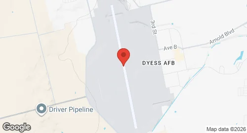
| Coordinates | 32.4208°N, -99.8547°E |
| Elevation | 546 m (1,791 ft) |
| IATA code | DYS |
| ICAO code | KDYS |
| Runways |
|
| Website | www.dyess.af.mil/ |
Description
Dyess Air Force Base is located seven miles southwest of Abilene, Texas. Established in 1942 as Abilene Army Air Base, the installation initially functioned as a flying training center during World War II. Following a period of inactivity after 1946, the site was reactivated in 1952 and renamed in 1956 in honor of Lieutenant Colonel William Edwin Dyess.
Air Force Global Strike Command operates the base. The host unit is the 7th Bomb Wing, which operates squadrons of B-1B Lancer strategic bombers. This wing includes the 28th Bomb Squadron, which serves as the training unit for B-1B aircrew. The 317th Airlift Wing, assigned to the Air Mobility Command, is a tenant unit that operates C-130J Super Hercules transport aircraft. Additional units stationed at the base include the 489th Bomb Group of the Air Force Reserve Command, the 337th Test and Evaluation Squadron, and the 77th Weapons Squadron.
The installation covers approximately 6,400 acres and contains nearly 200 facilities. Infrastructure includes the Dyess Linear Air Park, a collection of 34 static aircraft displayed along the main access road. Historically, the base supported Strategic Air Command operations with B-47 Stratojet and B-52 Stratofortress bombers, as well as KC-135 refueling aircraft. Between 1960 and 1966, the base was defended by Nike Hercules missile sites, and from 1962 to 1965, the 578th Strategic Missile Squadron maintained 12 SM-65 Atlas missile sites in the surrounding area. The base transitioned to renewable energy sources, including wind and biomass, for its power requirements starting in 2003.