Maharajpur AFS
Maharajpur AFS (ICAO VIGR) is an active joint civil-military airfield in India, operated by the Indian Air Force. It has 2 runways (longest 2,743 m). Home to Multiple squadrons (Mirage-2000 fleet), Tactics and Air Combat Development Establishment (TACDE), No. 1 Squadron, No. 7 Squadron and 1 other unit.
Facility Details
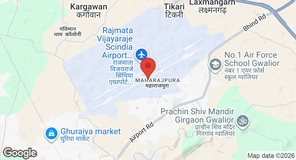
26.2933°N, 78.2278°E · 188 m elevation
| Operating Country | 🇮🇳 India |
| Location | 🇮🇳 India |
| Status | Active |
| Usage | Dual |
| Year built | 1940 |
| Operating Organization | Indian Air Force |
| Units |
Multiple squadrons (Mirage-2000 fleet)Tactics and Air Combat Development Establishment (TACDE)No. 1 SquadronNo. 7 SquadronNo. 9 Squadron
|
| Elevation | 188 m (617 ft) |
| IATA code | GWL |
| ICAO code | VIGR |
| Runways |
06L/24R · 2,743 m (8,999 ft) · Asphalt06R/24L · 2,743 m (8,999 ft) · Asphalt
|
| Website | www.aai.aero/en/airports/gwalior |
Description
Gwalior Airport, also known as Rajmata Vijayaraje Scindia Terminal, is a dual-use airport serving the city of Gwalior, Madhya Pradesh, India. It is located in Maharajpura, 10 km north-east of Gwalior. The airport was initially built by the Royal Air Force (RAF) in 1942 as a training base for pilots during World War II. Post-independence, the Indian Air Force (IAF) intended Gwalior to be a hub for its heavy bomber fleet, specifically for No. 5 Squadron operating Liberators, but logistical issues led to the relocation of bomber operations. In subsequent decades, Gwalior developed into a fighter base. The Tactics and Air Combat Development Establishment (TACDE) was established at the station, enhancing its strategic importance. By the mid-1980s, Gwalior became associated with the Mirage-2000 fleet, housing multiple squadrons and serving as a center for advanced aerial combat training. The airport is operated by the Airports Authority of India and is notable for having two operational parallel runways. Civil aviation commenced in 1958.
- AUG 132026 Updated Runway records recorded, with elevation, airport codes and official website
- APR 82026 Updated Sources and cross-references refreshed