Facility Details
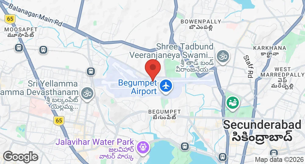
17.4531°N, 78.4675°E · 532 m elevation
| Operating Country | 🇮🇳 India |
| Location | 🇮🇳 India |
| Status | Active |
| Usage | Dual |
| Year built | 1936 |
| Operating Organization | Indian Air Force |
| Units |
National Service Scheme unitAir Medical Selection Board
|
| Elevation | 532 m (1,745 ft) |
| IATA code | BPM |
| ICAO code | VOHY |
| Runways |
09/27 · 3,231 m (10,600 ft) · Macadam
|
Description
Begumpet Airport, also known as Begumpet Air Force Station, is an airport located in Begumpet, Telangana, India. It was constructed by the Princely State of Hyderabad in the 1930s, opening in June 1936, and initially served as Hyderabad's commercial airport. During the Second World War, the Royal Air Force took control of the airport and established a flying school there in 1942. Commercial operations at Begumpet Airport ceased on March 23, 2008, following the opening of Rajiv Gandhi International Airport. Currently, the airport caters to general and military aviation and serves as a base for the Indian Air Force. It is utilized for flight training and houses an air force station. The airport also hosts Wings India, a biennial civilian air show.
- AUG 142026 Updated Lodger units recorded: the flying training establishment's support units
- AUG 12026 Updated Runways updated
- APR 82026 Updated Sources and cross-references refreshed